

Visualizing Gibraltar as an Island: A 3D Reconstruction
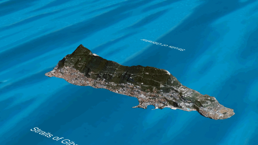
In this post, I’ll be sharing a video visualization of Gibraltar as an island in the Mediterranean — with the face of the Rock pointing west toward the Atlantic Ocean, exactly as many of us remember it. This is not a random animation. I had this visualization created using 3D terrain, with the Rock of […]
A Map Drawn From Memory: Gibraltar as an Island
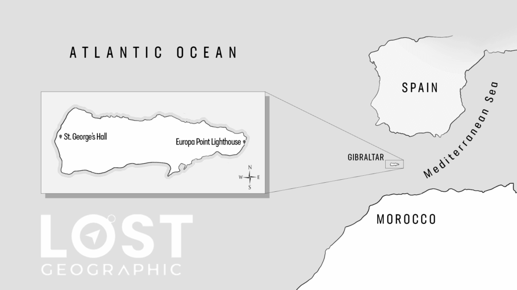
In this post, I’ll be sharing an image of a map I drew myself. This map is not based on modern atlases or current geography. It is drawn entirely from memory — my memory of the reality in which Gibraltar was an island. This is how Gibraltar used to exist on all maps: The maps […]
Reddit Threads Remembering Gibraltar As An Island

For many people researching geographical Mandela Effects, one of the most powerful tools isn’t official maps or textbooks — it’s shared memory. Long before the Mandela Effect became a mainstream term, online forums like Reddit quietly collected thousands of firsthand recollections from people who noticed changes that didn’t match what they remembered. Among these recurring […]