In this post, I’ll be sharing an image of a map I drew myself.
This map is not based on modern atlases or current geography. It is drawn entirely from memory — my memory of the reality in which Gibraltar was an island.
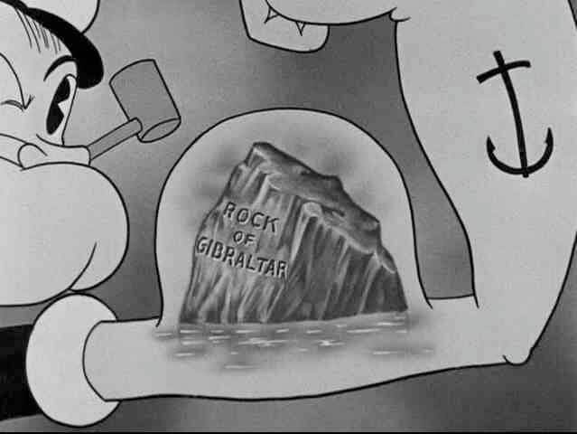
This is how Gibraltar used to exist on all maps:
- Completely surrounded by water
- Not attached to Spain
- Located in the Straits (plural) of Gibraltar
- Sitting in the middle of the Mediterranean entrance
- Still positioned between Spain and Morocco
- But not a peninsula or connected to mainland Spain
The maps we remember no longer exist.
They exist only in memory.
So I drew this one.
What This Map Shows
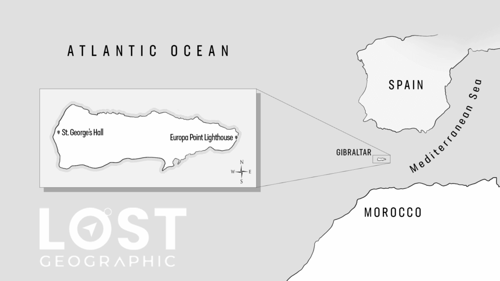
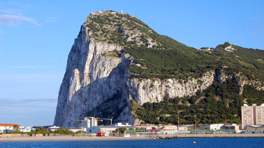
In the reality I remember, Gibraltar was a horizontal island, not a vertical peninsula.
The face of the Rock pointed west, toward the Atlantic Ocean — not north, as it appears today. This means that not only has Gibraltar changed from an island to a peninsula, but its orientation has also changed.
What was once horizontal is now vertical.
What once stood alone is now attached.
That alone is a major shift.
Strategic Geography That Made Sense
Seeing Gibraltar as an island, like I drew here, makes far more sense — especially strategically.
In the reality I remember:
- There was a strait north of the island
- And a strait south of the island
- Whoever controlled Gibraltar controlled the entire entrance to the Mediterranean Sea
This was why Gibraltar was so historically significant.
An island in that position would be nearly impossible to bypass. Control the island, and you control maritime access between the Atlantic and the Mediterranean.
That logic weakens considerably if Gibraltar has always been a peninsula.
No Airport — Only by Sea
Another important detail:
In the reality where Gibraltar was an island, there was no airport.
The only way to reach Gibraltar was by:
- Ferry
- Ship
- Or some other type of boat
This aligns with how islands typically function — and how Gibraltar operated in that reality.
The current airport, built directly across the narrow land connection to Spain, fits perfectly with today’s geography — but not with the one many of us remember.
The Distance Between Continents
On current maps, if you look at the distance between Egypt and Turkey, you’ll notice something interesting.
That distance is approximately the same distance that once existed between Spain and Morocco at the western entrance of the Mediterranean — when Gibraltar appeared as an island.
In the reality I remember:
- Europe and Africa were separated by significantly more water
- The western entrance to the Mediterranean was wider and more open
In this reality, Europe and Africa almost appear connected. You have to zoom in closely to see that there is still water separating them — now reduced to a single Strait of Gibraltar.
Singular.
Why I Drew This Map
I haven’t seen anyone else online attempt to draw a map from memory of how they remember Gibraltar.
So here is mine.
I’m hoping this map helps others who also remember Gibraltar as an island — especially those who struggle to visualize what they remember now that no official maps reflect it.
And to any Gibraltarians who might read this:
This is why so many tourists and foreigners still refer to Gibraltar as an island.
It’s not ignorance.
It’s not a mistake.
It’s because this is how Gibraltar exists in a hidden world — a version of reality that still overlaps with this one in subtle ways.
This is also the real reason Gibraltar hosts and participates in the Island Games.
A Hidden World, Still Broadcasting
The reality where Gibraltar is an island hasn’t vanished.
It still exists — just not on the frequency we’re currently tuned into.
Like a radio station, it continues broadcasting in parallel.
Sometimes, fragments come through.
I hope this map helps.
And maybe, for those who remember, it will feel strangely familiar.