
In this post, I’ll be sharing five historic photographs that I purchased from historicimages.com. I acquired these images for one very specific reason: each one describes Gibraltar as an island.
The key word I was intentionally searching for was island. That distinction matters. It isn’t casual wording — it’s evidence of something many of us remember.
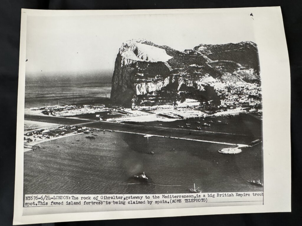
Each photograph comes with an original description printed on the back, and it’s within these descriptions that Gibraltar is explicitly referred to as an island. These are not modern reinterpretations or user-written captions. They are archival descriptions.
Before continuing, I encourage you to pay close attention to the dates associated with each image. The earliest photograph is dated 1935 — decades before the Spanish border closure of 1969, which I wrote about in a previous article HERE.
This is important because it demonstrates that Gibraltar was being referred to as an island historically, not merely as a political metaphor tied to isolation during the Franco-era border shutdown.
Photo 1 (1935)
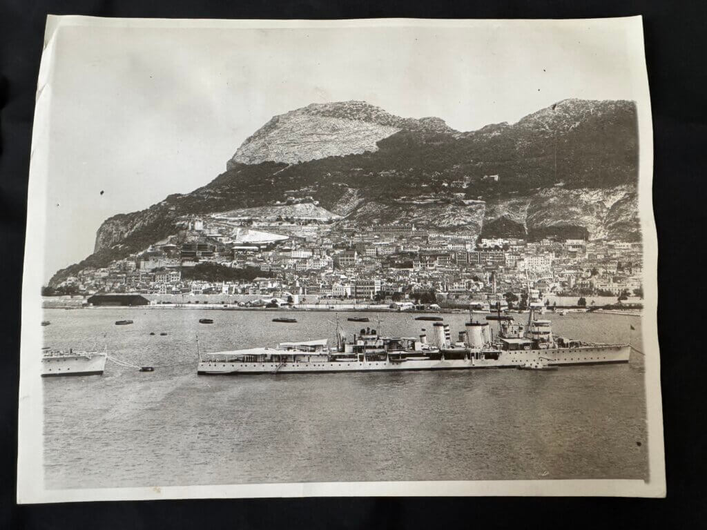
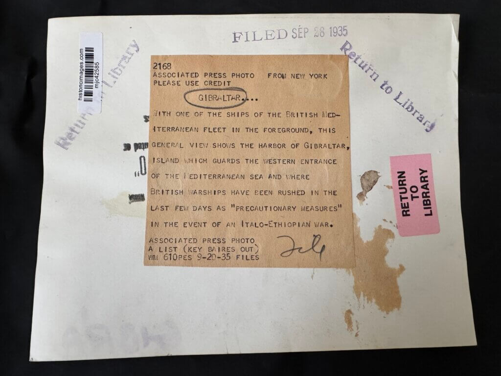
Photo 2
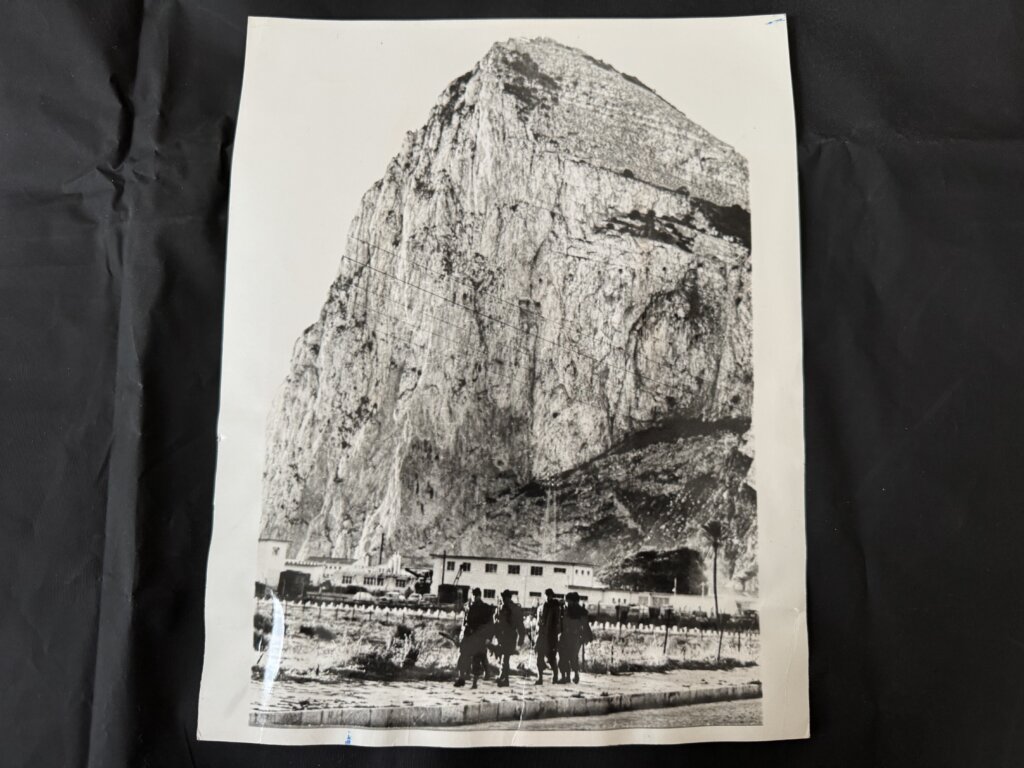
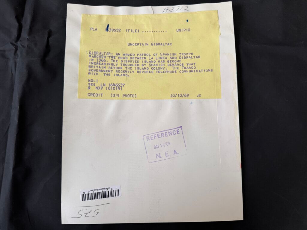
Photo 3
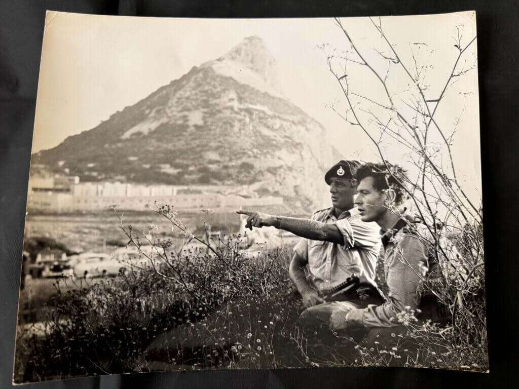
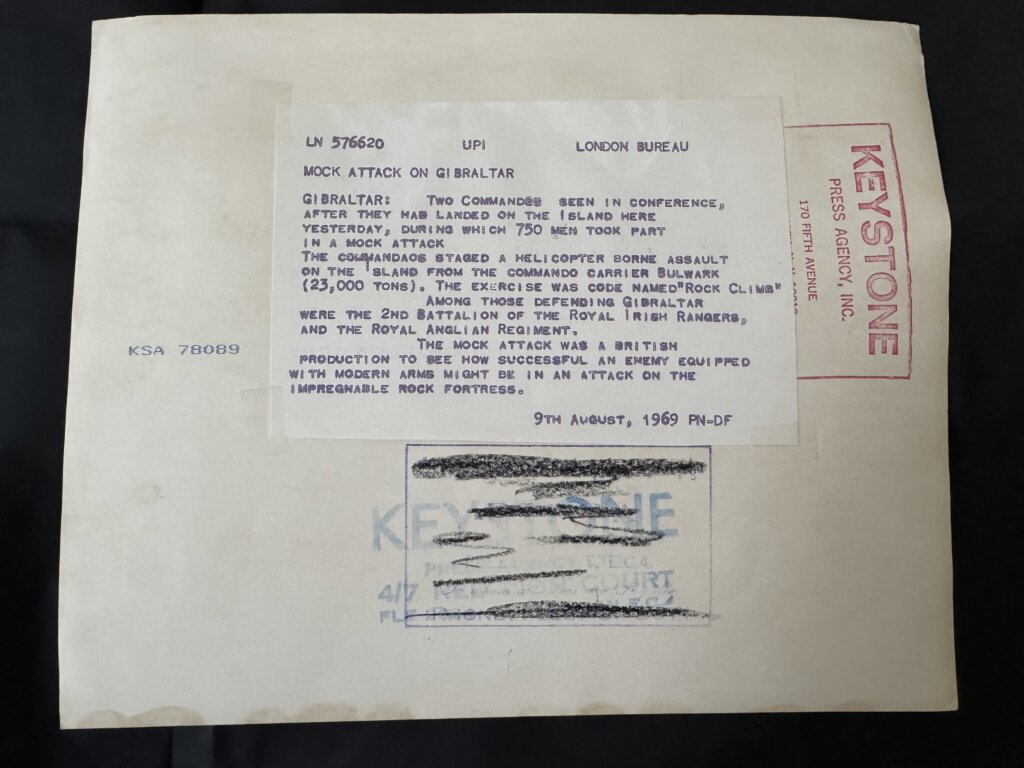
Photo 4
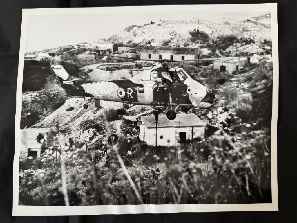
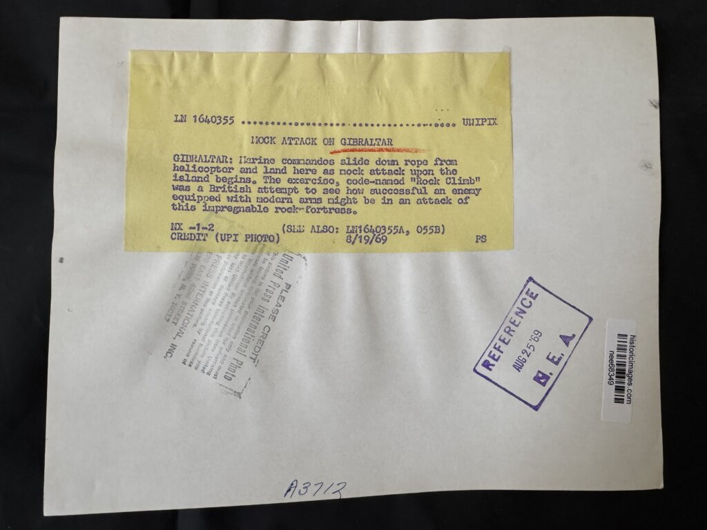
Photo 5
Why These Photos Matter
All five images are authentic historical photographs, purchased directly from a reputable archival source. They are not reproductions, edits, or modern reinterpretations.
These are also the exact photographs I brought with me to Gibraltar during my investigative trip in 2022. Some of you may recognize them from videos on my YouTube channel, where they appear in several segments filmed on location.
What stands out most is that these descriptions predate the commonly cited explanation that Gibraltar was referred to as an island only because the border with Spain was closed between 1969 and 1985. That explanation simply doesn’t apply here.
If Gibraltar was already being described as an island in 1935, then something else is going on.
A Pattern, Not a Mistake
Finding one reference might be dismissed as an error. Finding five separate historic images, all independently referring to Gibraltar as an island, points to a pattern.
This is what I refer to as reality residue — lingering fragments of information that reflect a version of geography many of us remember, even though it no longer appears on current maps.
These photos don’t stand alone. They exist alongside:
- maps,
- magazines,
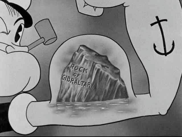
- cartoons,
- books,
- sporting events,
- cultural references,
all quietly pointing to the same conclusion.
Gibraltar wasn’t just described as an island.
It was an island — in a reality many of us experienced.
And these photographs are part of what remains.